

Der 900. KuMi - welch eine Ehre! ![]()
Das neue Ziel:
Warm - Hell - Und wir waren noch nicht dort!
Es geht in das Land des Schnees:

Nein, nicht obiger Schnee, sondern dieser hier:

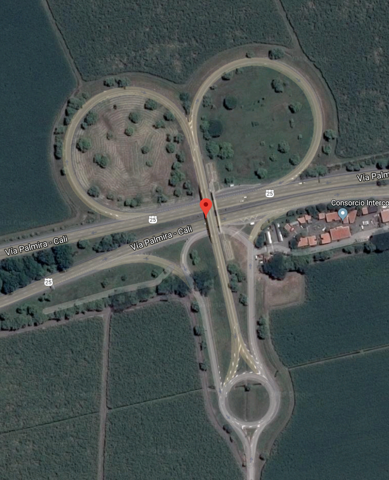
Wir besuchen die Orejuela-Brüder des Cali-Kartells ![]()

Infos:
Alfonso Bonilla Aragón International Airport (IATA: CLO, ICAO: SKCL) formerly known as Palmaseca International Airport is located between Palmira and Cali, the capital of Valle del Cauca Department, Colombia. It is Colombia's 4th busiest airport in passenger volume, with 5,600,000 people using the airport in 2016. It is the third largest airport in Colombia in terms of area and construction. The airport often serves as the alternate airport for Bogotá - El Dorado Int'l Airport and other Colombian airports.
Alfonso Bonilla Airport lies in the center of the wide and fertile Cauca River valley, which runs north - south between the Western and Central Colombian Andes ranges. It is approximately 5 hours flight from Santiago de Chile, 50 minutes from Quito, Ecuador, and about 3 hours 18 minutes from Miami airport.
The airport has one 3.000m long runway, equipped with the following navigation aids: primary radar, secondary radar, ILS, ALS, PAPI, RVR, runway centerline lights, threshold lights, and taxiway lights. The airport has SEI IX protection.
The Cali non-directional beacon (Ident: AS) is located 0.59 nautical miles (1.09 km) off the Runway 02 approach threshold. The Cali VOR-DME (Ident: CLO) is located 7.78 nautical miles (14.41 km) off the Runway 02 threshold.
Alfonso Bonilla airport is notable for being one of the very few secondary airports in Latin America that operates 24 hours a day. This is made possible not only by the year-round stable, consistent meteorological conditions but also because it is 14 kilometres (8.7 mi) away from both Cali and Palmira. That distance frees it from any environmental/noise restrictions, allowing aircraft to take off and land at any time of day. Alfonso Bonilla Aragón International Airport has non-stop flights to the United States, Spain, Ecuador, Panama and Peru.
Flüge:
https://en.wikipedia.org/wiki/Alfonso_B…nd_destinations
Scenery:
FSX-P3D3-P3D4: https://secure.simmarket.com/pksim-alfonso-…de_10512).phtml
FS2004: https://secure.simmarket.com/colairports_ca…(de_1109).phtml
X-Plane: https://forums.x-plane.org/index.php?/fil…3%B3n-colombia/
ATC & Charts:
Wird angeschrieben! Charts hat vermutlich jeder über Aerosoft oder Navigraph, alternativ -> AIP Colombia